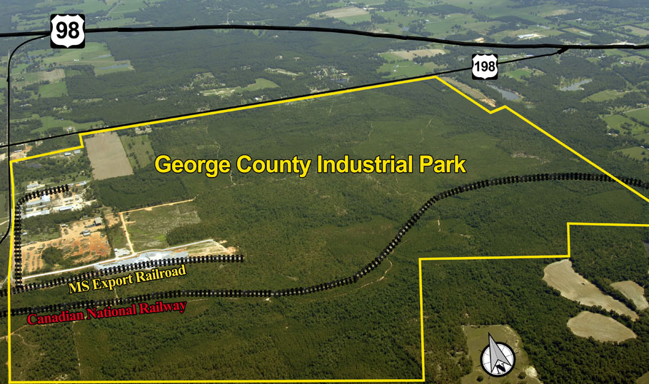
George County : Industrial Park
INDUSTRIAL PARK- 1,200 ACRES
 |
|
|
Location |
George County, MS (Regional
Map) |
|
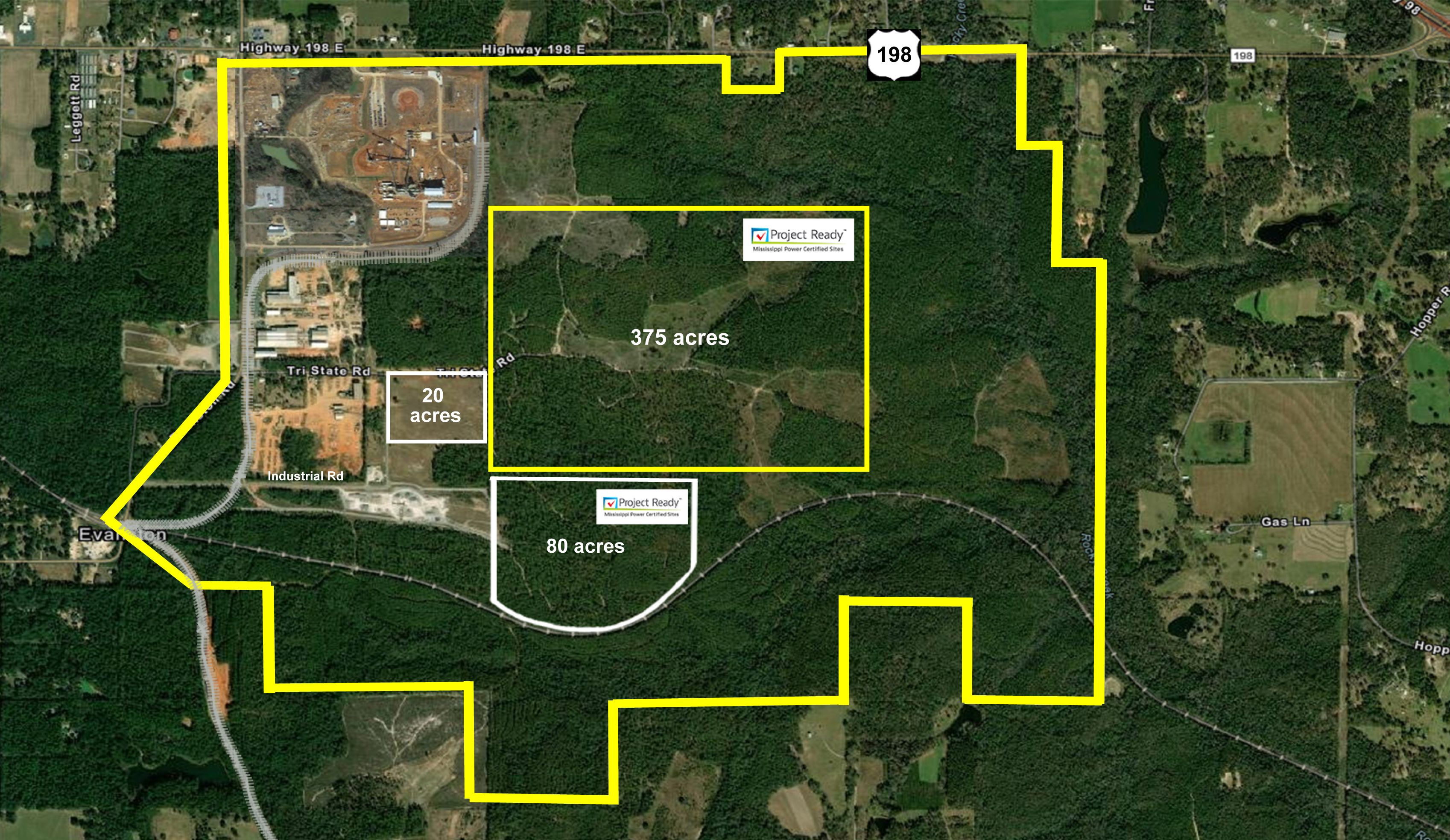
Total Acres |
1,200+ with buffer zones (Full Aerial Map) |
|
Developable Acres |
- 375 Acres
Site (additional buffer) & certified "Project
Ready" (PDF) |
|
Property Control |
Partnership with George County Board of Supervisors and MS Export RR & Luce Family |
|
Topography |
Max: 285 ft. with Avg.: 255 ft. |
|
Terrain |
|
|
Zoning |
No zoning, not inside city limits |
|
Utilities |
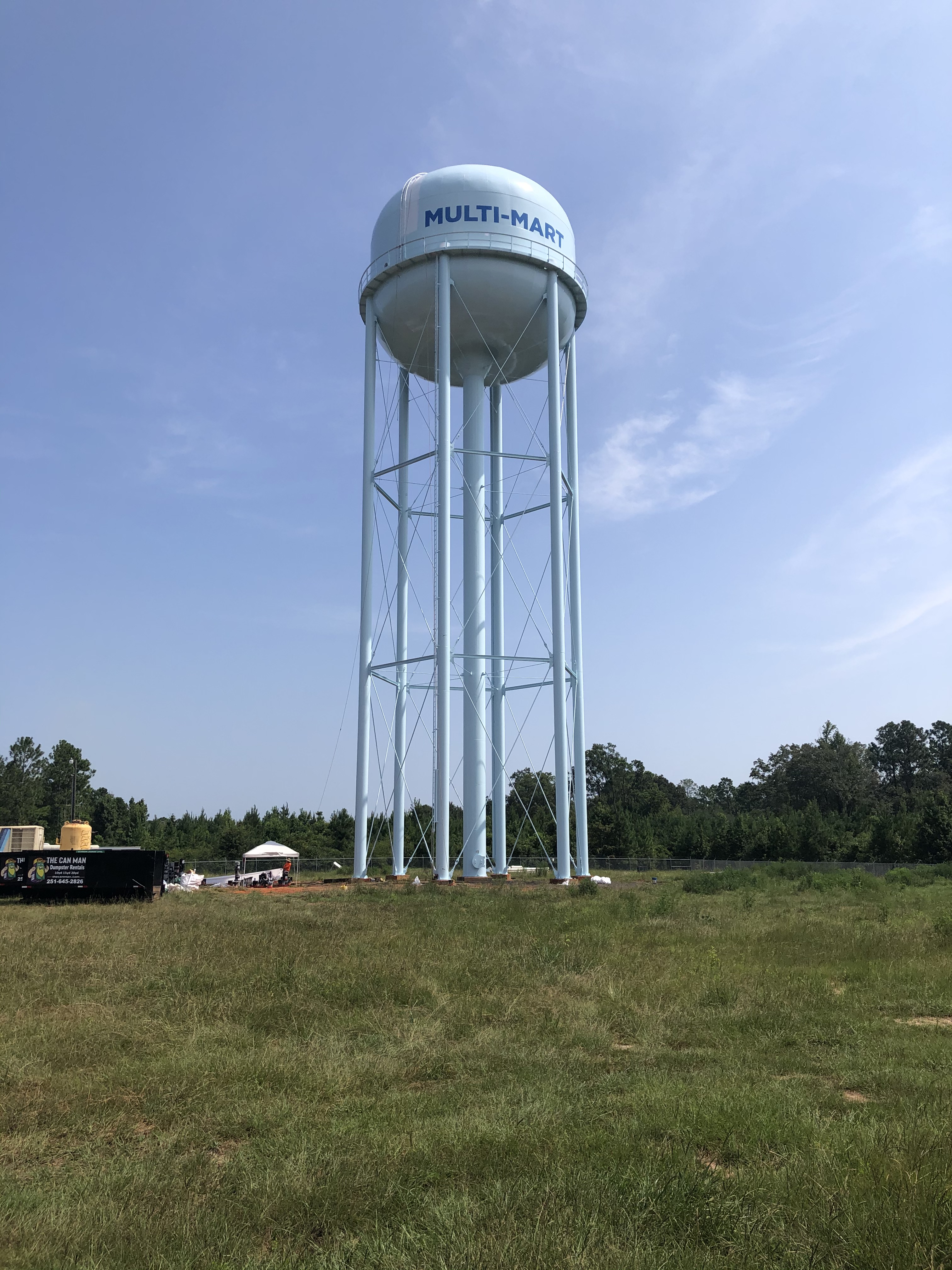
All
utilities are inside or adjacent to the Industrial Park: Multi-Mart
Water System Atmos Natural
Gas- www.atmosenergy/builders-developers.com George Co.
Waste Water Fiber
Optics
|
|
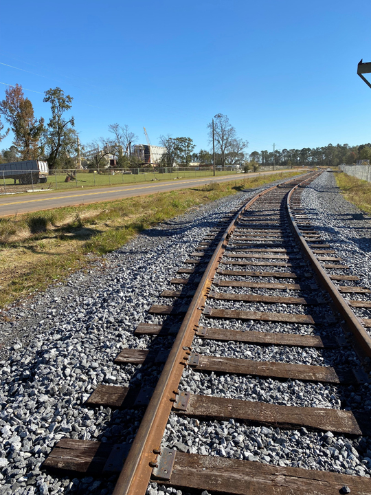
Railroads
Serving Site |
Mississippi
Export Railroad- www.mserailroad.com (Rail
Map) GC Industrial Park directly connects with MS Export Railroad with two rail spurs inside the Park. The Canadian National Railway also runs directly through the Industrial Park. |
|
Ports/Deep Water |
Port of Pascagoula- www.portofpascagoula.com The Port of
Pascagoula, located on the southeastern coast of Mississippi is a full-service deep water port. The
Port’s two harbors include a combination of public and private terminals handling in excess of 35
million tons of cargo. The Port is the largest seaport in Mississippi. Channel
Depth: Highways
Serving Port: Rail
Transport: Port of
Mobile GC
Industrial Park is 40 miles southeast from the Port of Mobile and directly connected by the Canadian
National Rail and the Federal Highway 98. Port of
Gulfport |
|
Major Highways / Interstates |
Major Highways: (PDF- Transport Map)
Interstates:
|
|
Commercial Air/General Aviation |
Mobile
Regional Airport: Gulfport-Biloxi
Regional Airport: Brookley/Mobile
Downtown Airport: Trent Lott
Regional Airport: |
|
University/Community College |
Mississippi Gulf Coast Community College
University
of South Alabama University
of Southern Mississippi |